



ATrack Suite
Engineering software and automated track optimisation As-Built | ATrack Suite from Leica Geosystems
Request more information
Efficient calculation of track and gradients
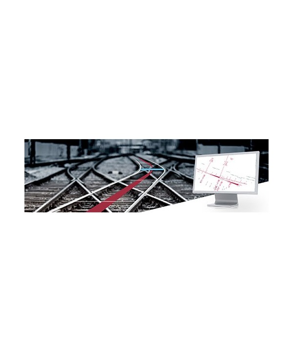
ATrack Suite from Leica Geosystems enables a complete mathematical analysis of the elements and geometric parameters of the constructed track. It is the solution for greater efficiency in the calculation of large railway datasets, with a graphical interface distinguished by its exceptional ease of use. In just a few seconds, track elements and gradient changes can be calculated with precision for safer railway operations. The integration of error analysis, measurement intervals and transformations ensures alignment with the measured points of the calculated track geometry. ATrack Suite from Leica Geosystems is used in many applications, such as:
- Route planning, including position and height, geodetic calculations
- Illustration of 2D plans and track layouts with all parameters
- Execution of transformation calculations and track transformations
- Useful additions to the AXTRAN and GVPlan programs
- The ATrack software family by Leica Geosystems includes: ATrack Basic Configuration
- ATrack Railway Calculation
- ATrack Driving Dynamics
- ATrack Track Plan