



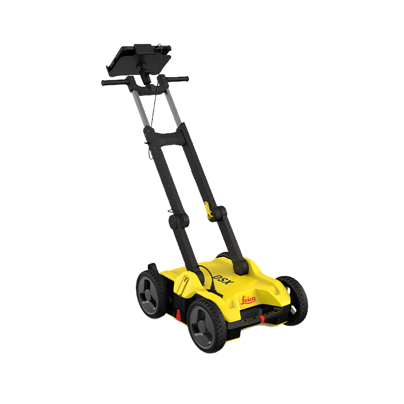

Leica DSX
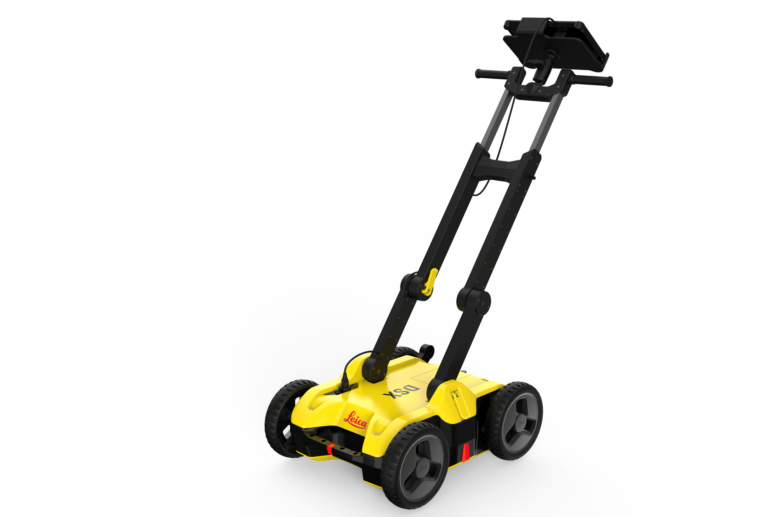
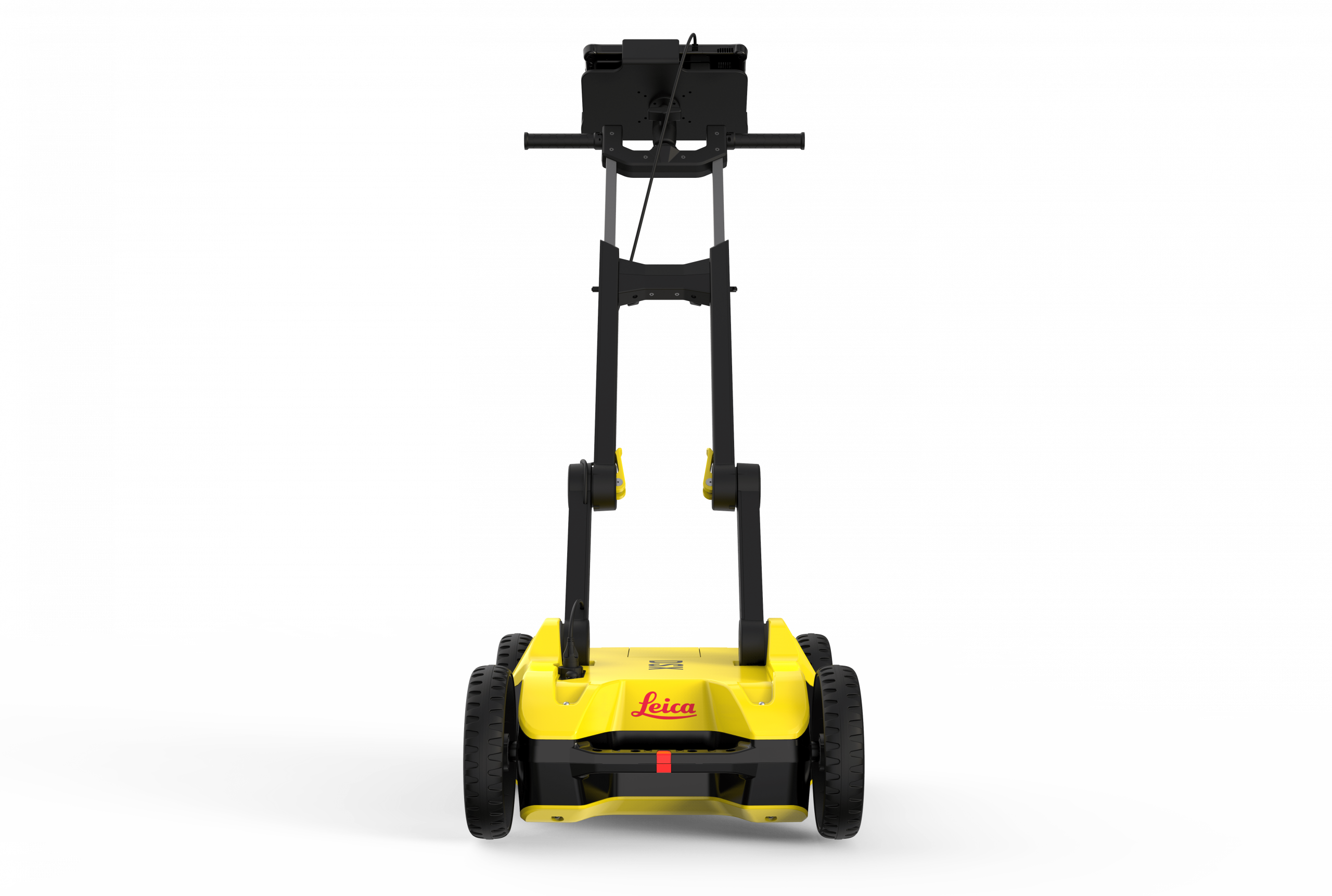
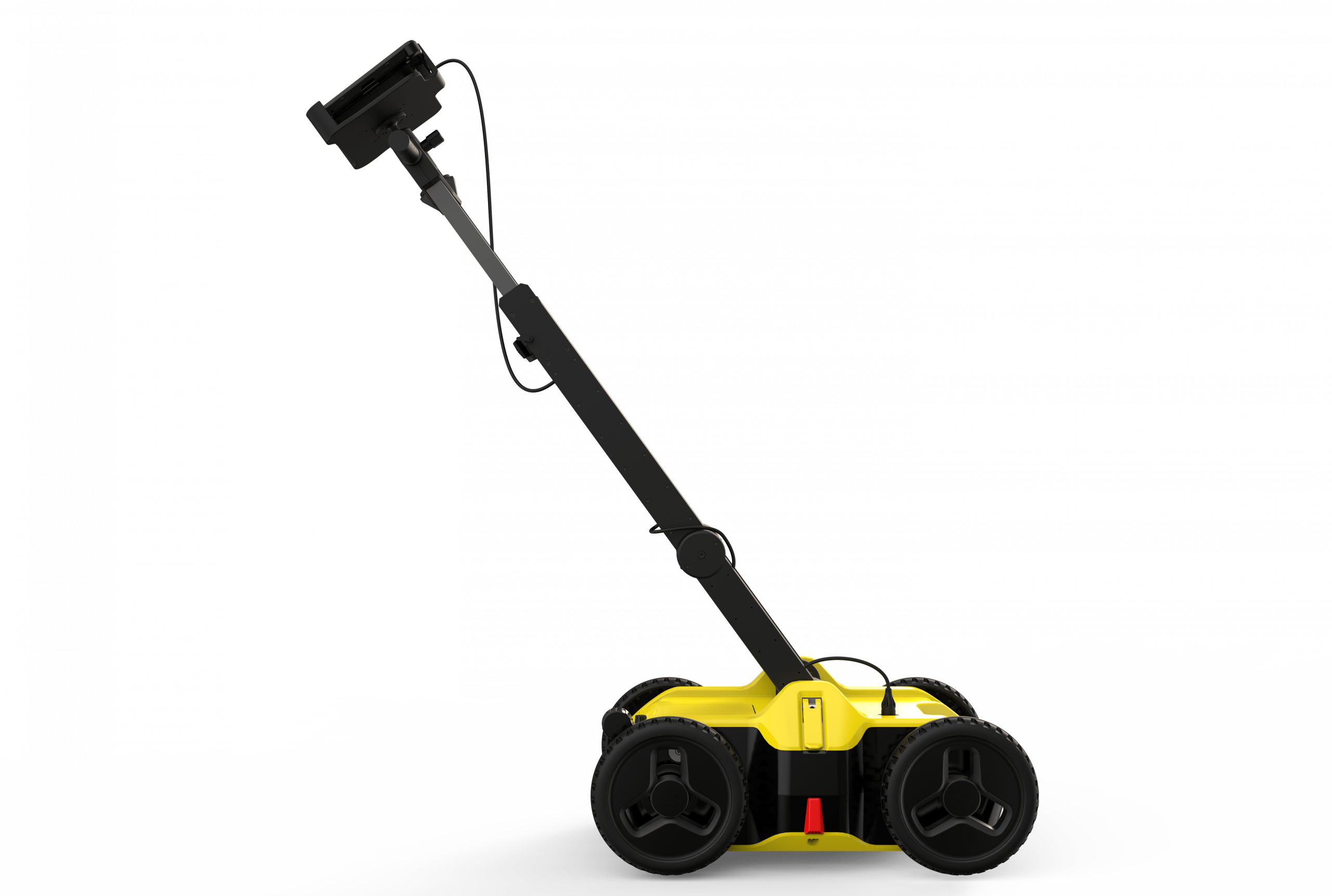
The Leica DSX GPR is an advanced tool for accurate and efficient underground detection. With its cutting-edge technology, it delivers reliable results instantly. Its ergonomic design and ease of use make it an ideal solution for construction professionals, engineers and archaeologists.
The Leica DSX combines ground penetrating radar (GPR) with global positioning technology (GPS) to provide detailed and accurate visualisation of subsurface features. It can detect pipes, cables, metal structures, cavities and other buried objects, helping to plan projects and prevent damage.
Request more information
Leica DSX Ground Penetrating Radar
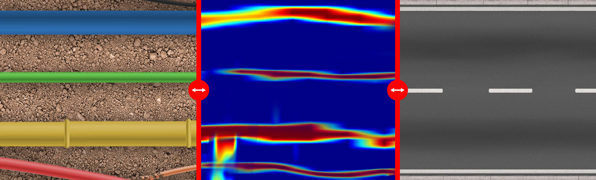
For utility maintenance and repair companies, civil engineering and surveying professionals, the Leica DSX utility detection solution—consisting of portable hardware and intuitive software—enables users to easily locate, visualise and map all underground utilities. Unlike any other ground penetrating radar (GPR) system, the Leica DSX maximises productivity with innovative and advanced software that automates data analysis and automatically generates a 3D map of existing underground utilities directly in the field.
Easy-to-use GPR
- Ensures accurate underground utility detection while avoiding issues, without requiring expert knowledge
- Complete detection and mapping of utilities in just a few steps through an intuitive user interface
- Scan anywhere, anytime, even in confined areas and harsh conditions
Reliable detection results
- Detects all types of underground utilities in high resolution to ensure reliable results
- Validates detected utilities with intelligent algorithm support
- Import POIs and utility records to support better decision-making
Instant 2D / 3D utility mapping
- Save time on site by mapping underground utilities in just minutes
- Export utility maps in CAD or BIM formats for further use
- Create professional, customised reports tailored to your needs and those of your clients
Integrated solution
- Provides a complete workflow: from acquisition to excavation
- Locate underground utilities with survey-grade accuracy
- Generate utility maps compatible with all coordinate reference systems

STEP 1: Gather information
Start by collecting utility records from the utility company or local municipality. Upload them into DXplore. If possible, visit the site beforehand to perform a visual inspection. Use an electromagnetic locator (EML) to detect power lines and conductive utilities and mark them on the ground.
STEP 2: Map utilities with Leica DSX
Set up the grid in the area of interest and collect data on all underground utilities with DSX, taking advantage of automated and supported post-processing directly on site to generate a 3D utility map. DSX can be used with Leica GPC/GNSS systems to create highly accurate georeferenced maps. Use additional information from STEP 1 in DXplore during data capture to assist in completing the subsurface image.
STEP 3: Excavate safely
Mark utilities on the ground based on the map or, for even greater efficiency, send the utility map directly to an excavator using Leica MC1 software or other Leica software packages such as DX Manager Mapping, Infinity or Captivate for further processing and integration with additional geospatial data.

