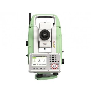
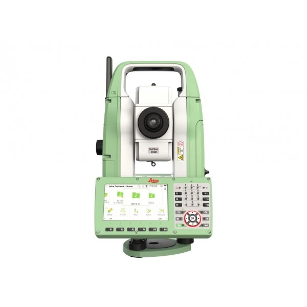

Leica FlexLine TS10
The Leica FlexLine TS10 enables fast and precise angle and distance measurements with a colour touchscreen and advanced connectivity options for greater field efficiency. Its robust design ensures reliable performance even under extreme conditions. It is ideal for construction professionals and surveyors who require accurate and efficient results.
Advanced manual total station with automatic instrument height measurement.
The most advanced manual total station for the most demanding tasks. The highest performance and precision for surveying and staking applications.
Request more information
Leica FlexLine TS10 Manual Total Station
Leica FlexLine TS10 is a high-end manual total station that allows you to carry out demanding surveying tasks using Leica Captivate software. This enables you to enter the world of 3D by benefiting from 3D views of your measured data.
The TS10 total station addresses the daily professional challenges and tasks required by the increasing demands of surveying and mapping, building construction and civil engineering:
- Construction department managers benefit from minimal downtime of their survey equipment to deliver projects on budget and on time.
- Survey managers can rely on the highest product durability on the market, increasing planning reliability.
- Surveyors work faster by measuring more points per day with fewer measurement errors and less rework.
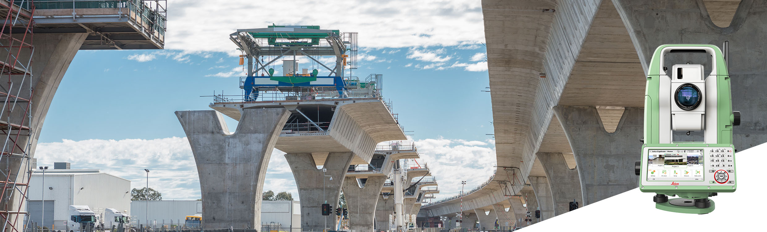
Leica FlexLine: the new generation of manual total stations
The new Leica FlexLine series is based on a proven product concept that has revolutionised the world of measurement and surveying for nearly 200 years. Unlike any other manual total station on the market, Leica Geosystems manual total stations focus on delivering the highest quality, the lowest total cost of ownership and the greatest durability in the industry, enabling users to work with purpose-driven solutions for optimal performance results.
AutoHeight: revolutionising instrument height measurement
The TS10 offers the world’s first AutoHeight function as an option. AutoHeight allows the instrument to automatically measure, read and set its own height. Avoid time-consuming manual effort and eliminate critical setup errors, as this revolutionary feature uses the instrument’s laser to measure the ground and automatically transfers the measurement to the software.
Leica Captivate software: complete, intuitive and easy to use
The TS10 is equipped with Leica Captivate field software, a comprehensive application-based software package. This intuitive and familiar software helps you capture even more points than before and connects seamlessly with modern 3D data workflows and rigorous quality control routines.
Service and support: global, local and best in class
With optional mobile internet access, the TS10 connects to the office for seamless data flow and to Leica Geosystems’ trusted global service and support at the touch of a button. Through the Active Customer Care programme and the myWorld customer portal, users gain access to the latest software updates, service and support, as well as mySecurity. When mySecurity is activated, the locking mechanism ensures the device is disabled and can no longer be used.
Work faster
Measure more points per day thanks to faster measurement and staking procedures (endless drives, trigger key, dual-side drives, precise EDM and more), supported by our user-friendly and familiar FlexField software. Accelerate your learning curve on site, benefit from excellent ergonomics and reliable measurements, and reduce errors and rework.
Solving your problems
Increase productivity and minimise downtime by relying on instruments that simply work and are backed by a global service and support network.
Surveying instruments built to last
Even after years of use in harsh conditions (such as mud, dust, rain, extreme heat and cold), FlexLine continues to perform with the same level of accuracy and reliability.
Control your investment
Instrument quality has been our standard for nearly 200 years, allowing you to rely on a lower lifetime investment without worrying about unexpected costs.
Mobile connectivity
With optional mobile internet access, you can share information online much faster, receive project data from designers or engineers in the field, and use Leica Geosystems services such as Leica Exchange or Leica Active Assist.
Save time with automatic height measurement functionality
This revolutionary feature allows the Leica TS10 to measure, read and calculate its own height automatically. This functionality minimises errors and speeds up instrument setups on site. AutoHeight is an optional feature available for the TS10.