



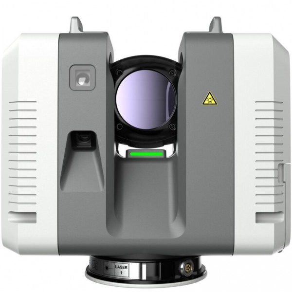
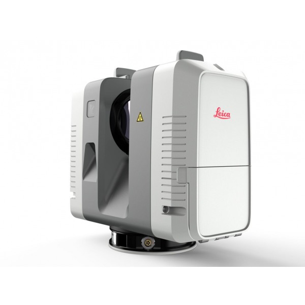

Leica RTC360 LT
The best solution for 3D reality capture: fast, agile, and precise.
The Leica RTC360 LT laser scanner is a high-precision tool for 3D data capture. With its lightweight and compact design, it is easy to transport and use anywhere, making it a popular choice for the construction and architecture industries. Fast scanning speed and exceptional resolution.
Request more information
Leica RTC360 LT Laser Scanner
The new Leica RTC360 LT Laser Scanner allows users to capture and document environments in 3D, improving efficiency and productivity in the field and the office through fast, intuitive hardware and software with maximum precision, making it significantly easier for professionals to manage the complexities of any project.
- Truly portable, fully automated, intuitive, and designed for maximum productivity, the RTC360 solution efficiently combines the high-performance RTC360 3D laser scanner, the Leica Cyclone FIELD 360 mobile app for automatic real-time scan registration, and Leica Cyclone REGISTER 360 office software to seamlessly integrate your 3D model into your workflow.
- Scan and capture reality, including High Dynamic Range (HDR) imagery, in less than two minutes.
- Enrich your data capture with information tags that illustrate all details for better planning, reflect site reality, and allow your team to gain true situational awareness.
High Scanning Speed
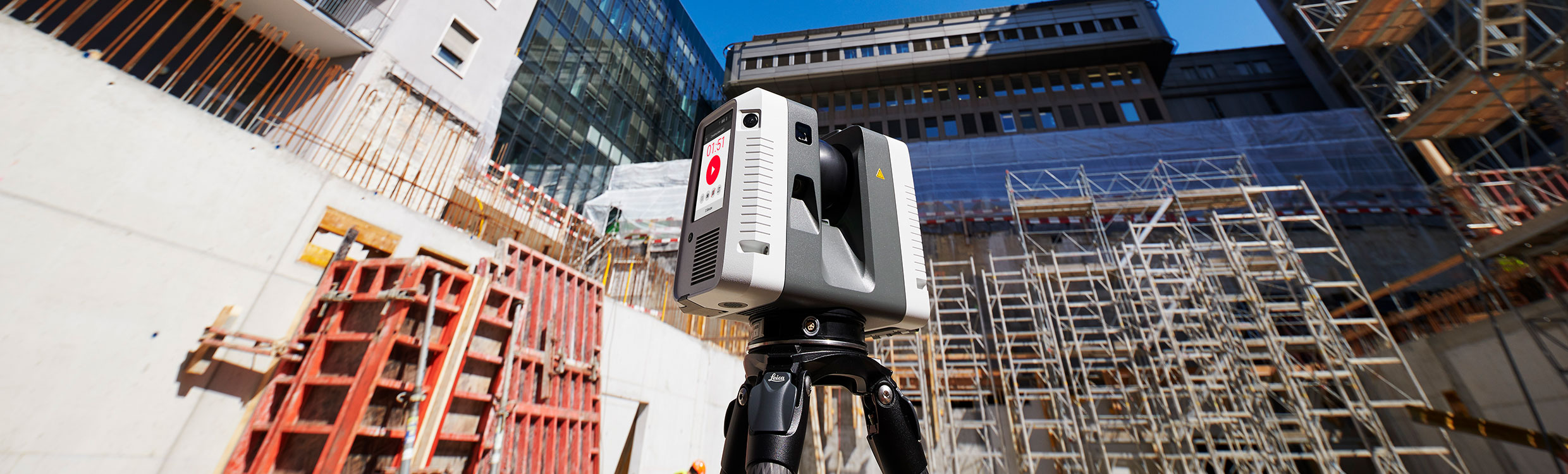
The Leica RTC360 3D laser captures reality faster than ever. With a measurement rate of up to 1 million points per second and an advanced HDR imaging system, a complete point cloud acquisition can be performed in under 2 minutes. Immediate data transfer from field to office ensures maximum productivity.
The Most Agile 3D Laser Scanner
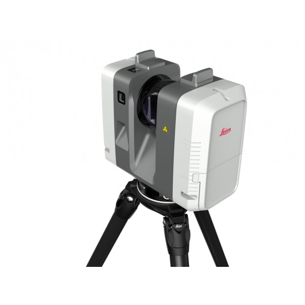
Featuring a minimalist, lightweight, and robust design, it includes a foldable tripod compact enough to fit with the RTC360 3D into a standard backpack. The tripod features mechanisms for rapid setup without sacrificing stability. Once ready, scan simply with the press of a single button.
Greater Scanning Precision
Capture point clouds with lower noise accompanied by HDR images, resulting in sharper, higher-quality scans. In combination with the Cyclone FIELD 360 app, point cloud registration is performed automatically, offering real-time point clouds with exceptional accuracy that can be verified on-site.
In-Field Pre-registration
As part of the Leica Geosystems 360 reality capture solution, the high-performance Leica Cyclone FIELD 360 mobile app is the best on-site companion for the 3D laser scanner. With its intuitive user interface, remote scan control, and on-site point cloud display, navigation is a breeze, even for inexperienced users.