



Leica Geosystems
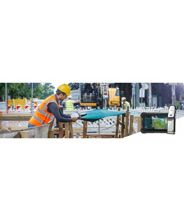

Leica Zeno Mobile
Software Leica Zeno Mobile.
Request more information
Leica Zeno Mobile
A complete tool for data capture with the simplicity of an Android application. With an excellent and intuitive way of collecting data, asset management has never been so simple.
Main features of Leica Zeno Mobile
Despite its slim and clean user interface, Zeno Mobile comes with top functionalities:
- Define features directly in the field within seconds or create the Zeno Mobile structure in the office based on a simple spreadsheet.
- Ensure your measured data always meets your quality expectations (up to centimeter accuracy with RTK), as Zeno Mobile notifications constantly monitor system parameters. Record positioning accuracy directly in feature attributes and store full metadata – only verifiable data is good data!
- The first application on the market capable of measuring multiple features with a single measurement. This saves time and ensures topological requirements.
- Thanks to the integrated Hexagon imagery program, you benefit from a high-quality and consistent aerial imagery database.
- Navigate and stake out points and lines in the easiest way – no need to orient to north, simply follow arrows and graphics generated by the sensors of the Zeno 20 using the “Zeno Mobile” Stakeout, another unique feature.
- No more struggle to access difficult or hazardous points (roads, rivers, dams) using the DISTO ™ S910. Zeno Mobile overcomes GNSS limitations in obstructed environments (tree canopy, urban canyon).
- Export collected data to PC as shapefiles, ASCII or KMZ, either via cable/USB or using the cloud with Dropbox.
Frequent updates with new features and improvements for Zeno Mobile can be received wirelessly, just like other Android applications.