




PIX4D Mapper Profesional OTC
Original price was: 4.960,00 €.3.986,50 €Current price is: 3.986,50 €. (Taxes not included)
PIX4Dmapper is the ideal solution for professionals in construction, agriculture, mining, and more.
Take your projects to the next level with the leading professional photogrammetry software.
Perpetual Licence.
Request more information
PIX4Dmapper - Perpetual Licence
The leading photogrammetry software for professional drone mapping.
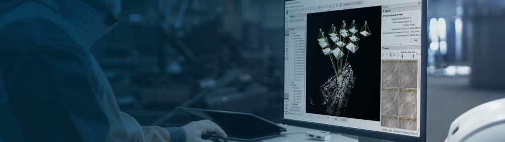
Capture Images with Professional Precision
Capture RGB, thermal, or multispectral images using any camera or drone. Easily import your photographs into PIX4Dmapper to start transforming data into valuable information.
Survey-Grade Results
Achieve results with sub-centimetre accuracy:
- 1 - 2 pixels GSD in X, Y directions
- 1 - 3 pixels GSD in Z direction
Digitise Your Projects with Advanced Photogrammetry
Convert your images into detailed digital spatial models with PIX4Dmapper. Process your projects seamlessly via the cloud or through the powerful desktop photogrammetry platform.
Full Control Over Your Project Quality
Assess and optimise results with the comprehensive quality report. Obtain details on calibration, key indicators, and a preview of the results to ensure accurate and reliable mapping.
Define an area of interest, select processing options, add ground control points (GCPs), or edit point clouds, DSMs, meshes, and orthomosaics.
Inspect, Measure, and Analyse with Ease
Perform distance, area, and volume measurements with millimetre precision. Extract elevation profiles and conduct virtual inspections to obtain clear and detailed insights.
Your Workflow, Your Choice
Use default templates for automatic processing or customised settings for full control over quality, data, and projects. Choose when and how to use cloud and desktop processing.
Collaborate and Share Efficiently
Facilitate communication between your team, clients, and suppliers. Share project data and insights securely, fostering trust and improving collaboration at every stage of the process.
Advantages of Using PIX4Dmapper
- Versatile processing: in the cloud or on desktop.
- Compatible with cameras and drones from different brands.
- High-precision and reliable results.
- Advanced tools for analysis and inspection.