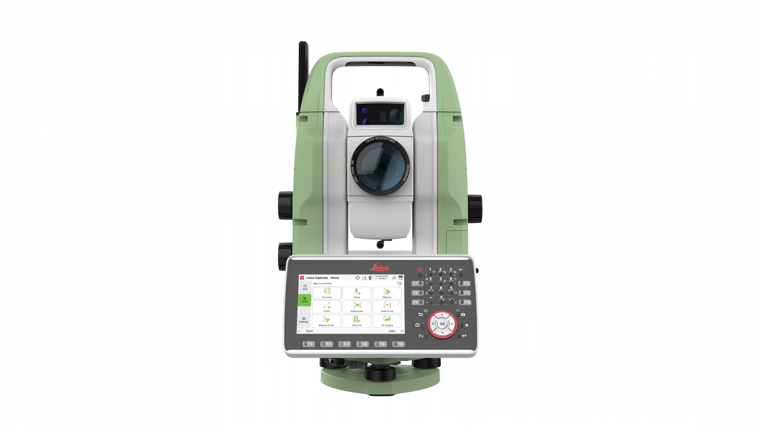
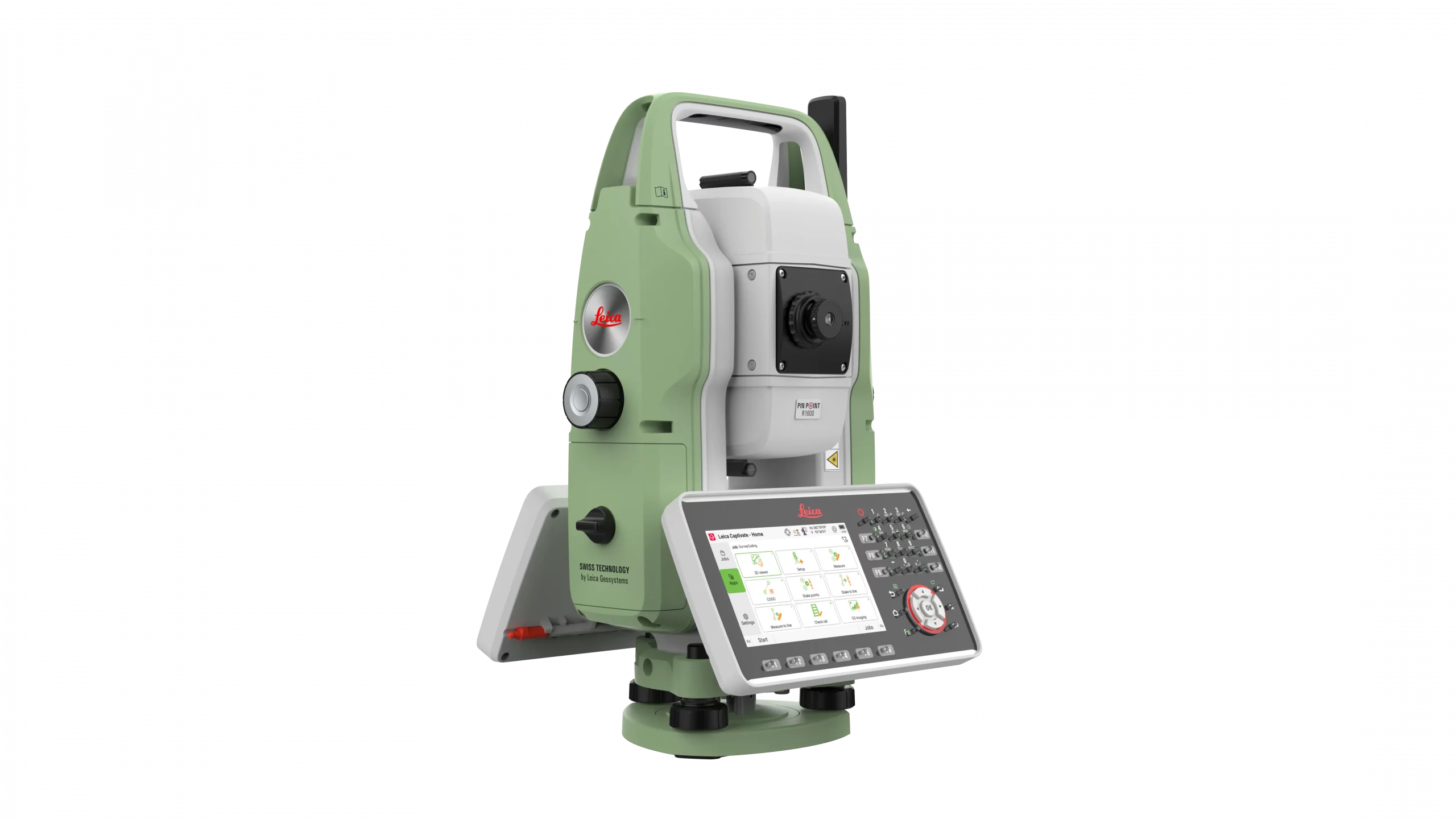
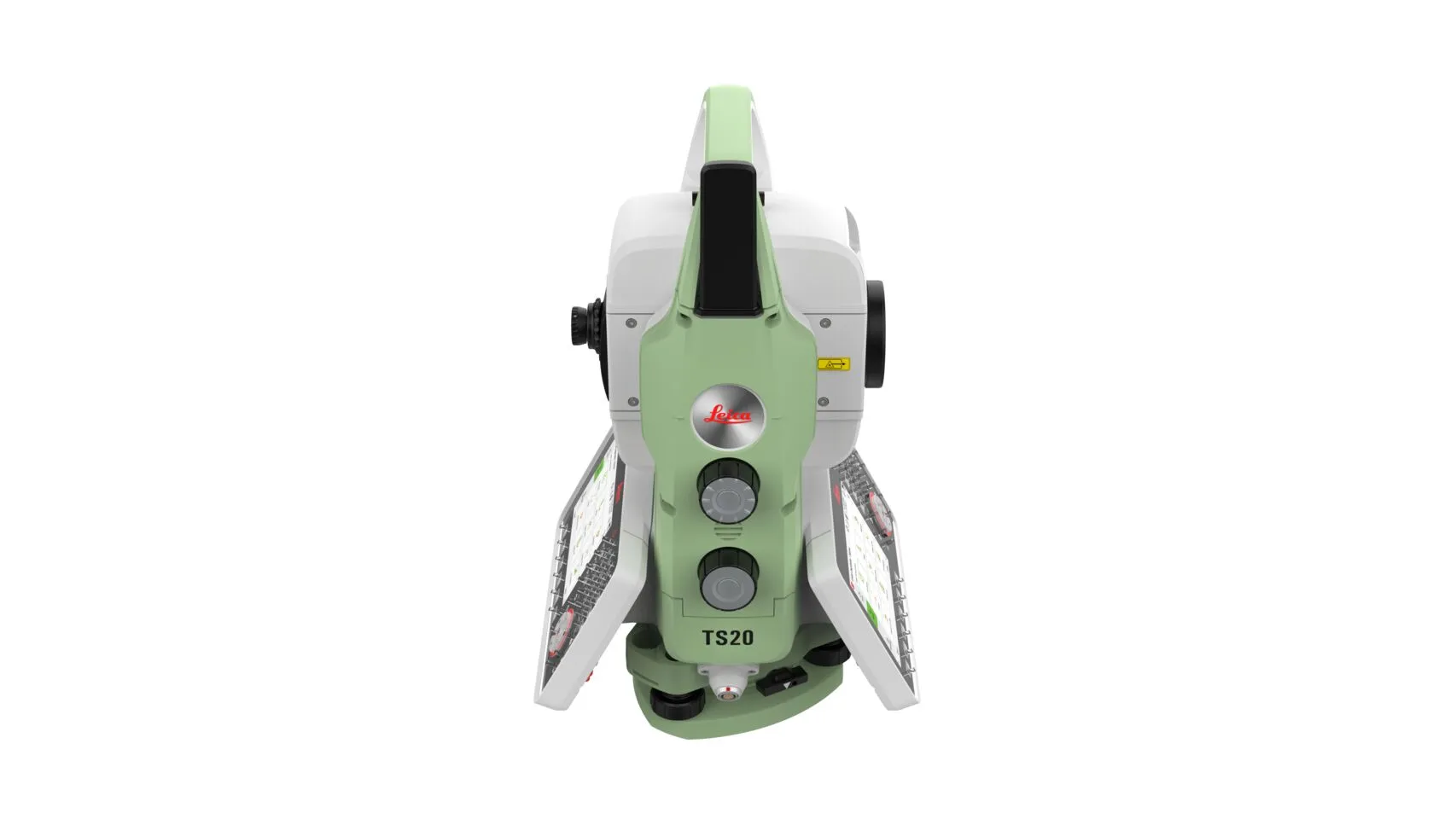
Leica TS20
The Leica TS20 is the new robotic total station from Leica Geosystems that marks a turning point in everyday surveying. With AI-powered automation, IP66 protection, cloud connectivity, and Leica Captivate software, it offers precision, speed, and reliability in any environment.
Request more information
Leica TS20: The next generation of robotic total stations
The Leica TS20 is the direct successor to the renowned TS16, designed to elevate productivity and precision in all types of measurement and layout projects. Conceived as the benchmark robotic total station, it combines Leica Geosystems' reliability with innovative technologies that make every working day more efficient.
Thanks to its intelligent automation engine, the TS20 allows for reduced setup times and minimises field errors. Features such as AutoHeight, Dynamic Lock, PowerSearch, and integration with the Leica AP20 AutoPole ensure faster and safer data capture, even in complex conditions.
Integrated Artificial Intelligence automatically detects the prism type and improves target tracking, providing a real advantage in demanding tasks.
The TS20 is designed to maximise what matters most in the field:
- Speed: fast, maintenance-free motors, automatic prism search, intelligent recognition, and AI-powered pointing.
- Precision: automatic prism type identification (AI-Detect) that reduces registration errors and ensures reliable results.
- Efficiency: more points measured per day with fewer errors, decreasing the need for rework and corrections.
In 2026, AI-Follow will be added, allowing the station to follow the AP20 prism even if the line of sight is lost.
Built with an IP66 design, the Leica TS20 is ready to withstand dust, water, and extreme environmental conditions. Its BLDC direct-drive motors offer fast and smooth rotation, while AI-assisted ATR technology maintains the target even in low-visibility environments.
Furthermore, the Arctic version ensures reliable performance down to -35 °C, making it a versatile tool for projects anywhere in the world.
The first total station with Artificial Intelligence
The TS20 integrates an NPU processor that provides field computing power. Thanks to this AI, the equipment can:
- Recognise prisms automatically.
- Optimise target searching and locking.
- Increase efficiency even when measuring to reflective tapes.
The result is a faster workflow with fewer interruptions.
Connectivity and digital workflows
The new generation of total stations doesn't just measure with precision: it also connects seamlessly with the cloud. The Leica TS20 offers integrated 4G LTE connectivity and compatibility with HxGN GeoCloud services, facilitating real-time data transfer and secure remote access to projects.
With the GeoCloud Protect function, users can protect their equipment against theft through real-time location and remote locking, increasing the security of the investment.
The TS20 comes standard with Leica Captivate v10 field software, offering an intuitive user experience with apps for measurement, layout, and data management in multiple formats. Additionally, it integrates with controllers such as the CS20 and CC200 series tablets, and can operate in advanced configurations alongside GS range GNSS receivers or the SmartPole system.

A total station for all types of projects
The Leica TS20 is not just a tool for cadastral surveys: it is designed to cover everything from construction layout to large-scale infrastructure projects such as railways, tunnels, bridges, buildings, or roads.
With its robotic power, GeoCloud Protect security, and full integration with the Leica ecosystem, the TS20 sets the standard for productivity and leads the way to the future of robotic surveying.
With a latest-generation hardware platform, continuous software updates, and full compatibility with Leica accessories, the TS20 is designed to offer long-term value. It is an instrument ready to respond to current and future challenges in surveying, construction, engineering, and metrology.
Additional information
| Angular accuracy | 1″ (0.3 mgon), 2″ (0.6 mgon), 3″ (1 mgon) or 5″ (1.5 mgon) |
|---|---|
| Rank | 0.8 m to > 10,000 m |
| Prismless measurement (R800 / R1600) | 0.8 m to > 800 m / 0.8 m to > 1,600 m |
| Accuracy (prism) | ± (1 mm + 1 ppm), time ≈ 1.3 s |
| Accuracy (without prism) | ± (2 mm + 2 ppm), time ≈ 1.7 s |
| Laser spot size (at 50 m) | 12 x 18 mm |
| Laser wavelength | 658 nm (visible red, coaxial) |
| Measurement technology | Wave Form Digitiser, continuous reading, non-contact |
| Automatic aiming range | Circular (GPR1): 2000 m / 1000 m · 360° (GRZ4): 1000 m / 1000 m · Reflective (GZM37): 50 m |
| ATR accuracy | Same as nominal angular class (1″–5″), ≈ 3–4 seconds per measurement |
| PowerSearch Range | Circular 600 m · 360° 500 m · Mini 360° 300 m · Tape 50 m |
| AutoHeight | Accuracy ± 1.0 mm (1 σ), range 0.7–2.7 m |
| Autofocus system | Motorised, 30× magnification, focus 1.45 m to infinity |
| Rotational speed | Up to 200 gon (180°)/s |
| Change of face | ≈ 1,9 s |
| General camera | 20 MP CMOS sensor, 21.8° × 16.4° (27° diagonal), ≤ 20 fps |
| Light guide (EGL) | Range 5–150 m, accuracy ± 5 cm @ 100 m |
| Processor | NXP I.MX 8M Plus with Neural Processing Unit (NPU) |
| Operating system | Linux® |
| Screen | 5" WVGA colour touchscreen, 37 illuminated keys |
| Field software | Leica Captivate with apps and GeoCloud connectivity |
| Connectivity | Ethernet, USB-C®, Bluetooth®, WLAN |
| Mobile connectivity (optional) | 4G LTE with eSIM, GeoCloud Protect service (GNSS + WLAN + cellular anti-theft) |
| Internal memory | 32 GB |
| Weight (instrument) | 4,97 kg |
| Weight with tribrach + battery | 6,03 kg |
| Working temperature range | –20 °C (–35 °C Arctic version) to +50 °C |
| Advanced features | ATR with AI, PowerSearch, Dynamic Lock, Leica AP20 AutoPole, AutoHeight |


