Leica RTC Series
Leica RTC Series: the new generation of Leica Geosystems 3D terrestrial laser scanners, available in three performance levels (RTC300, RTC500 and RTC700). Capture up to 2 million points per second, range of up to 270 m and a real-time connected workflow with Livelink technology. A scalable reality capture platform for surveying, construction, industrial facilities and infrastructure.
Request more information
```html
Leica RTC Series: next-generation 3D laser scanner
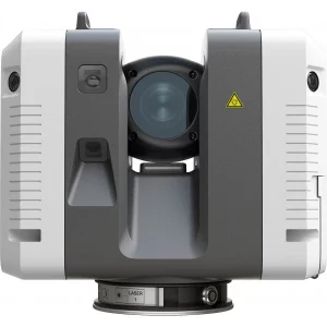
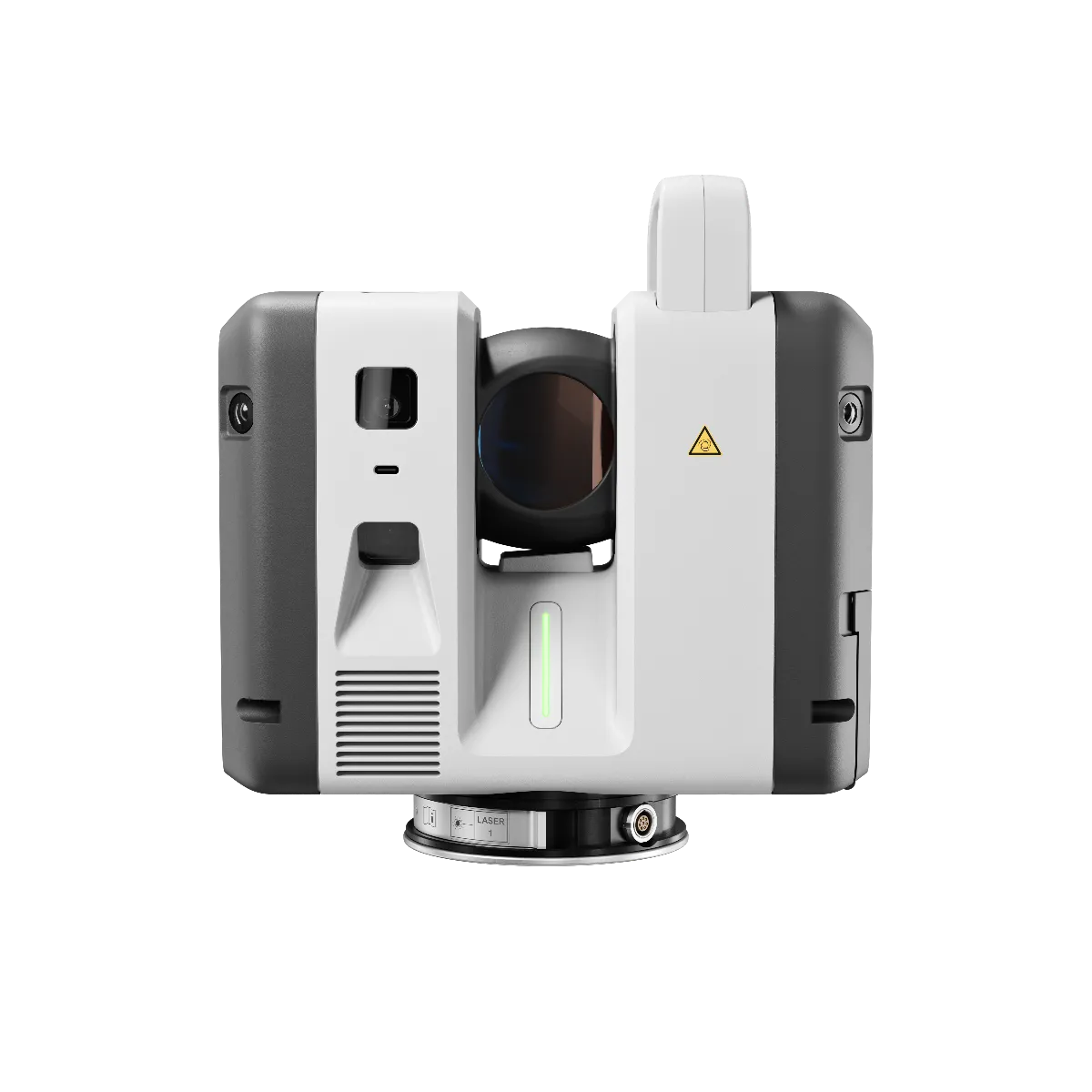
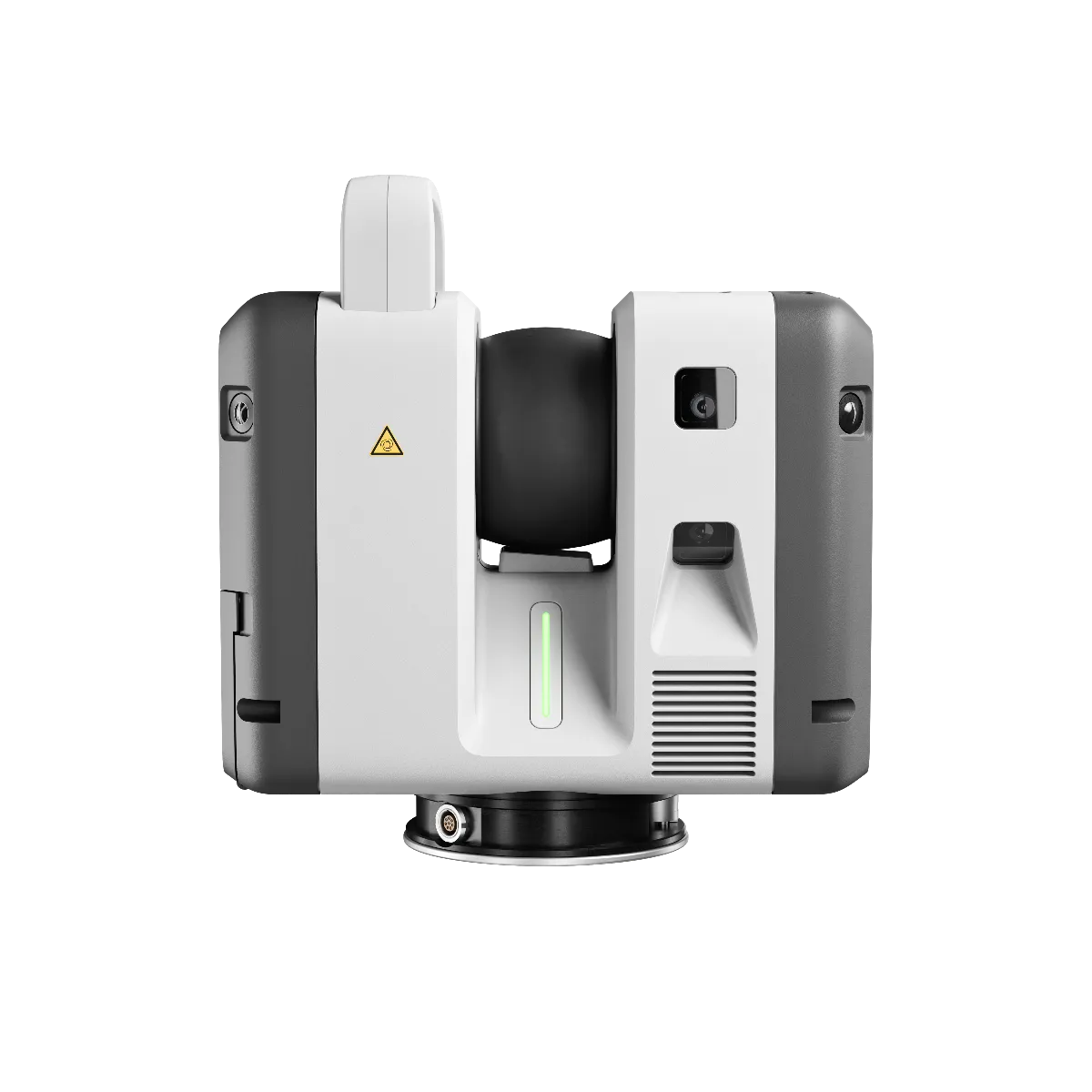
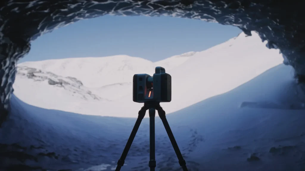
The Leica RTC Series is the new family of terrestrial laser scanners from Leica Geosystems (Hexagon), a reality capture platform that combines the speed and versatility of the RTC360 with the robustness and precision of the ScanStation P-Series range. The series includes three models built on the same scalable platform: Leica RTC300, RTC500 and RTC700. As the demands of your projects grow, you can move up to a higher performance level without replacing the entire system.
Faster capture and greater accuracy
The new Leica RTC laser scanner captures data up to 3.5 times faster and with more than 35% greater accuracy than its closest competitor. It reaches a measurement speed of up to 2,000,000 points per second and a range of up to 270 metres, depending on the model. The RTC500 and RTC700 complete a full dome scan with HDR image in approximately 1 minute and 40 seconds, at 6 mm resolution at 10 m; the RTC300 does so in around 2 minutes and 30 seconds.
Real-time registration and cloud-based work
The Leica RTC Series integrates the VIS (Visual Inertial System), which automatically registers scans during capture and reduces dependence on manual registration in the office. With Livelink functionality in Leica Cyclone FIELD 360 and Hexagon GeoCloud, field and office teams work connected in real time:
- Real-time field-to-office data exchange.
- Collaboration between teams during scanning.
- Remote project supervision.
- Coordination of several scanners at the same time.
The result is greater project control: less rework, more confidence in the data and a more direct path from the first station to the final deliverable.
High-resolution imaging system
- Six cameras with a combined 72 MP sensor system.
- 432 MP of raw HDR image data.
- 174 MP calibrated spherical image.
- 360° × 300° field of view.
- Full HDR image generation in approximately 30 seconds.
- Automatic exposure and white balance for indoor, outdoor and industrial environments.
Accuracy specifications
- Angular accuracy: 10 arcseconds.
- Distance accuracy: 1.2 mm + 10 ppm.
- 3D point accuracy: 1.5 mm at 10 m.
- Distance noise: 0.2 mm at 10 m.
- High-precision tilt compensation based on IMU.
- The RTC700 also supports ultra-high-resolution area scanning up to 0.8 mm at 10 m, for engineering and inspection applications.
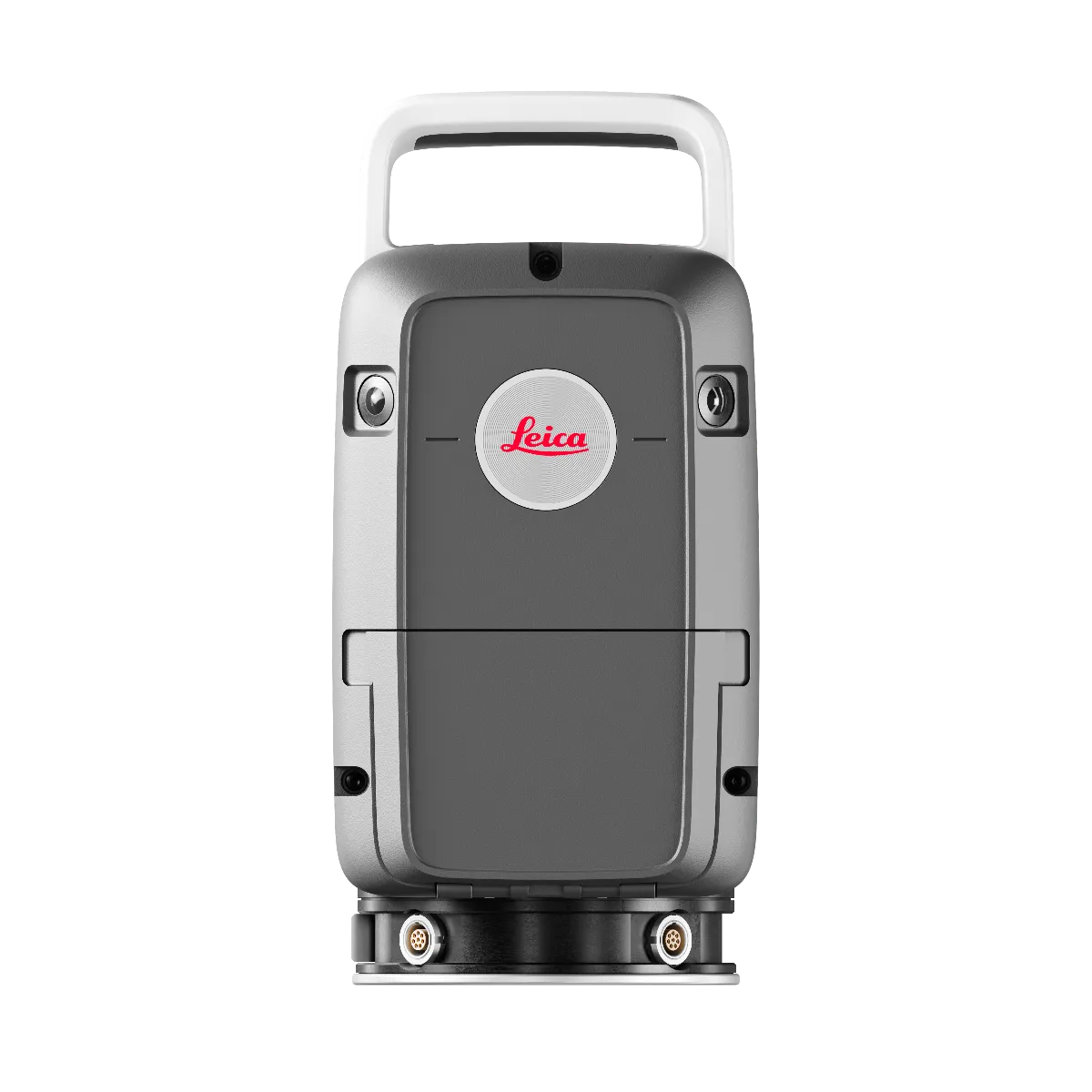
Designed for demanding working environments
- IP55 environmental protection.
- Operating temperature from -20 °C to +50 °C.
- Automatic self-calibration during normal use.
- Integrated GNSS and impact sensors.
- 512 GB internal SSD storage.
- Wi-Fi 6 connectivity and USB-C data transfer.
- Approximate weight of 5.5 kg without batteries and up to 4 hours of autonomy with internal lithium batteries.
Applications
The Leica RTC Series is designed for specialised workflows in surveying, construction and BIM, industrial plants, public safety and infrastructure. It is compatible with the Hexagon software ecosystem: Hexagon GeoCloud, Cyclone, Autodesk Revit and other CAD/BIM tools.
Buy Leica RTC Series in Spain and Portugal
As an official Leica Geosystems distributor, at Global Geosystems we offer sales, rental, training and technical service for the Leica RTC Series 3D laser scanner. Request information, a quotation or a demonstration with our technical team.
Additional information
| Weight | 5,5 kg |
|---|---|
| Dimensions | 121 × 240 × 254 cm |
| Model | RTC300 / RTC500 / RTC700 |
| Scanning speed | 1.000.000 pts/s / 2.000.000 pts/s / 2.000.000 pts/s |
| Scope | 85 m / 130 m / 270 m |
| Resolution (@10m) | ~2 min 30 s / ~1 min 40 s / ~1 min 40 s |
| Surface scanning | No / No / Yes (to 0,8 mm @ 10 m) |
| Angular accuracy | 10" |
| Range accuracy | 1,2 mm + 10 ppm |
| Laser class | Class 1 (IEC 60825-1:2014) |
| Wavelength | 1550 nm (invisible) |
| Measurement technology | Flight time with Waveform Digitising (WFD) |
| Field of view | 360° (horizontal) / 300° (vertical) |
| Camera system | 6-camera system, 72 MP |
| Image | 432 MP raw HDR / 174 MP calibrated spherical |
| Registration system | Real-time VIS (Visual Inertial System) |
| Screen | 4.3" capacitive touchscreen, colour, 480 × 800 |
| Environmental protection | IP55 |
| Operating temperature | -20ºC to +50ºC |
| Storage temperature | -20ºC to +50ºC |
| Humidity | 95%, non-condensing |