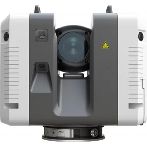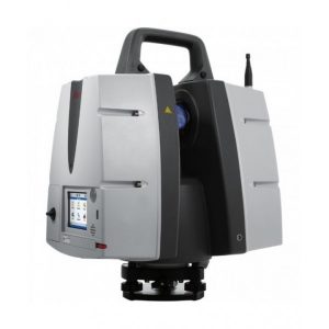


Leica ScanStation P30
High-definition 3D laser scanning solution.
An integrated 3D laser scanning solution that delivers unmatched speed, accuracy and range for demanding scanning projects.
Request more information
Leica ScanStation P30 Terrestrial Laser Scanner
Leica ScanStation P series 3D laser scanners are ideal for capturing 3D geometry of civil infrastructure, as they are capable of creating as-built representations of large and complex industrial sites, reconstructing crime scenes or generating 3D data for integration into Building Information Modelling (BIM).
The Leica ScanStation P30/P40 delivers the highest quality 3D data as well as high dynamic range (HDR) imaging at an extremely fast scanning speed of 1 million points per second with ranges of up to 270 m. Its unmatched range and angular accuracy, low noise level and dual-axis compensator provide the basis for creating highly detailed colour 3D point clouds with true-to-life clarity.
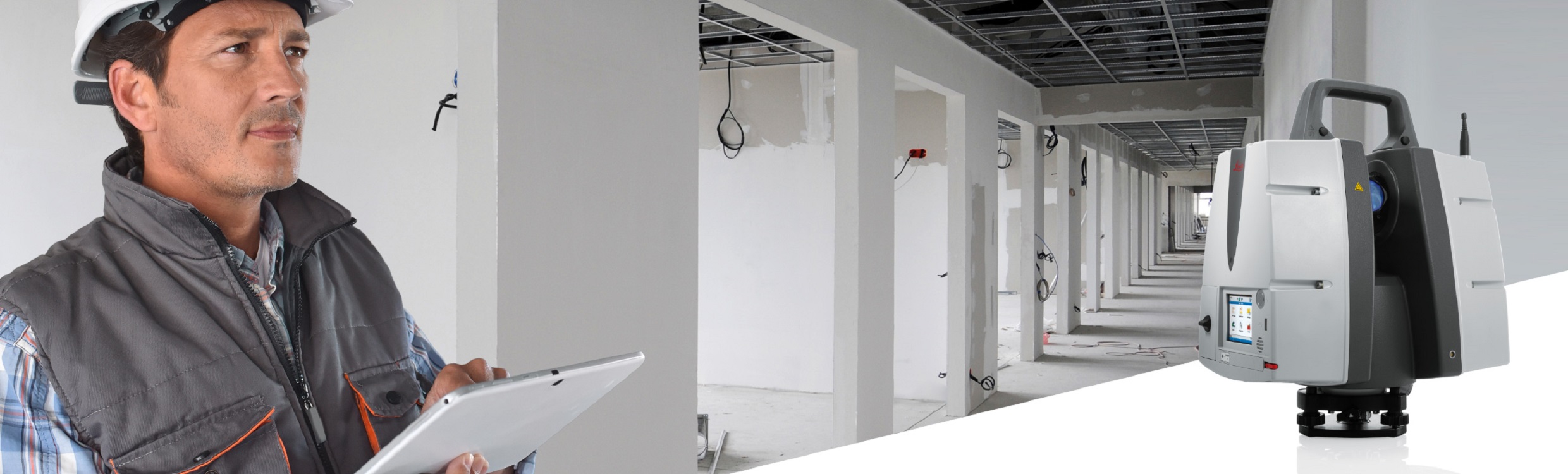
Leica Geosystems 3D laser scanners provide:
- Highest quality 3D data and HDR images
- Extremely fast scanning speed of 1 million points per second
- Ranges of up to 1200 m
- Low noise level
- Survey-grade dual-axis compensator
- Highly detailed colour 3D point clouds with true-to-life clarity
The right scanning choice
Whether you need a detailed as-built representation of a façade, a 2D floor plan, 3D data for integration into BIM software, capture of 3D geometry for roads, railways, tunnels and bridges, or high-definition scan data for topographic mapping and as-built surveys, you know you will need a long-range scanning solution for your projects: Leica ScanStation P30/P40 laser scanners are the right choice, because every detail matters.
High-performance terrestrial scanner
The new long-lasting 3D laser scanners reduce downtime and operate even in the most demanding environmental conditions, such as temperature ranges from –20 °C to +50 °C. In addition, they comply with IP54 standards for dust and water resistance.
Complete scanning solution
Leica Geosystems offers the Leica ScanStation product series as an integral part of a complete scanning solution including hardware, software, services, training and support. 3D laser scanner data can be processed in the industry-leading 3D point cloud software suite, consisting of Leica Cyclone standalone software, Leica CloudWorx plug-in tools for CAD systems and the free Leica TruView software.
ScanStation P30 offers
- Highest quality 3D data and HDR images
- Extremely fast scanning speed of 1 million points per second
- Range of up to 270 metres
- Very low noise level
- Survey-grade dual-axis compensator
- Highly detailed colour 3D point clouds with true-to-life clarity