






Leica Pegasus Two
Leica Pegasus Two. Mobile Sensor Platform
Create new opportunities with your vehicle-independent mobile mapping solution.
Request more information
Leica Pegasus Two. Mobile mapping system for massive data capture in kinematic mode
The Leica Pegasus:Two mobile mapping solution uses a laser scanner (or multiple scanners) in combination with GNSS receivers, an Inertial Measurement Unit (IMU) and a Distance Measurement Instrument (DMI) on a mobile platform (vehicle) to acquire precise and accurate spatial data.
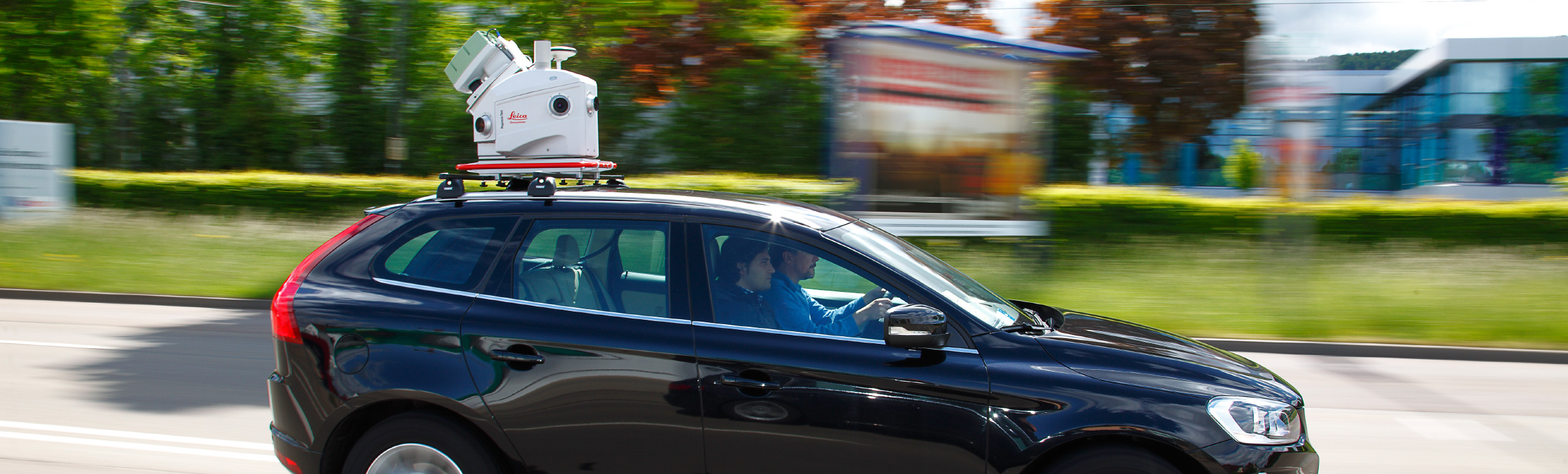
Limited only by imagination
Leica Pegasus Two is a complete mobile mapping solution from hardware to object extraction by Leica Geosystems. The Leica Pegasus:Two solution provides an integrated hardware platform including cameras and LiDAR profilers with an external trigger and synchronisation output for additional sensors. Simply fly-in, collect, then fly-out - no dedicated or modified vehicles are required - batteries included, measure without limits.
The Leica Pegasus Two captures calibrated imagery and point cloud data together - ensuring that no object is missed. Capturing the full 360° spherical view together with LiDAR means you will never miss an object or need to return to the project site. Leica Pegasus:Two offers an optional rear road camera for pavement analysis, providing options to grow your business - collect once, sell twice.
Leica Pegasus Two - Complete and easy
Enabled by a complete software workflow including data acquisition, calibration, post-processing powered by Novatel, object extraction and configurable layered storage by GISenabled - the Leica Pegasus:Two is your simple and easy answer. A hardware light sensor ensures that all images are usable after post-processing. Capture to extract - your only tool needed.
Main features of Leica Pegasus Two
- Fully calibrated imagery and point cloud data
- 7 cameras for full dome imagery enabling city modelling
- Easily extract features and work online with Imagery AND Point Cloud data
- Mobile scanner can be mounted on any vehicle without modification
- Scanners and profilers can be added separately after purchase and calibrated by the user
- Use powerful features in Esri® ArcGIS for Desktop
- Enhanced image capture with automatic light sensor
- External trigger output and timing for additional sensors
- The most advanced GNSS receiver leverages global constellations
- Cost-efficient with data - balances quantity and quality of data with project logistics and post-processing


