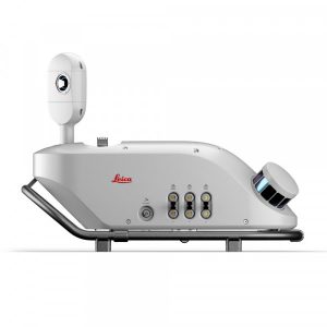
Leica Pegasus TRK300
The Leica TRK300 is a mobile mapping system that enables data capture over large areas of up to 300 m quickly, reducing the need for multiple passes.
Advanced mobile mapping within reach of more users.
Request more information
Leica Pegasus TRK300
The new Pegasus TRK300 mobile mapping system is designed to expand access to advanced mapping technologies. This system offers coverage of up to 300 metres, enabling efficient data capture in wide corridors and open areas, reducing the need for multiple passes.

Key features:
- Extended coverage. Range of up to 300 metres for efficient mapping of large areas.
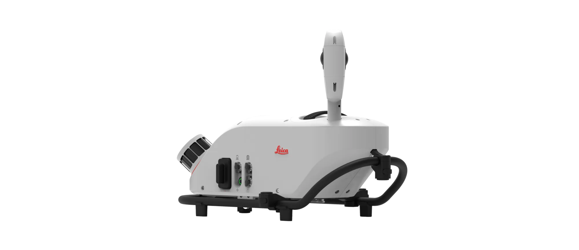
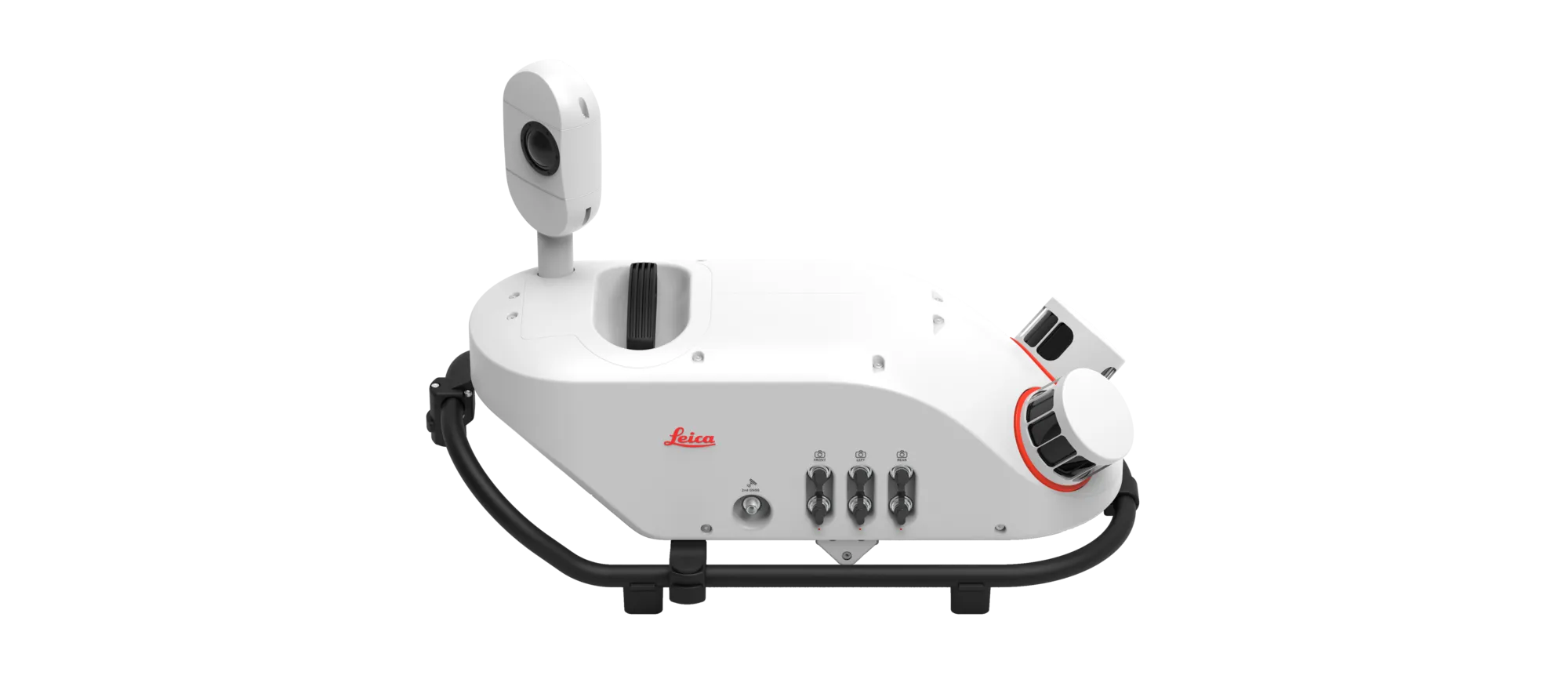
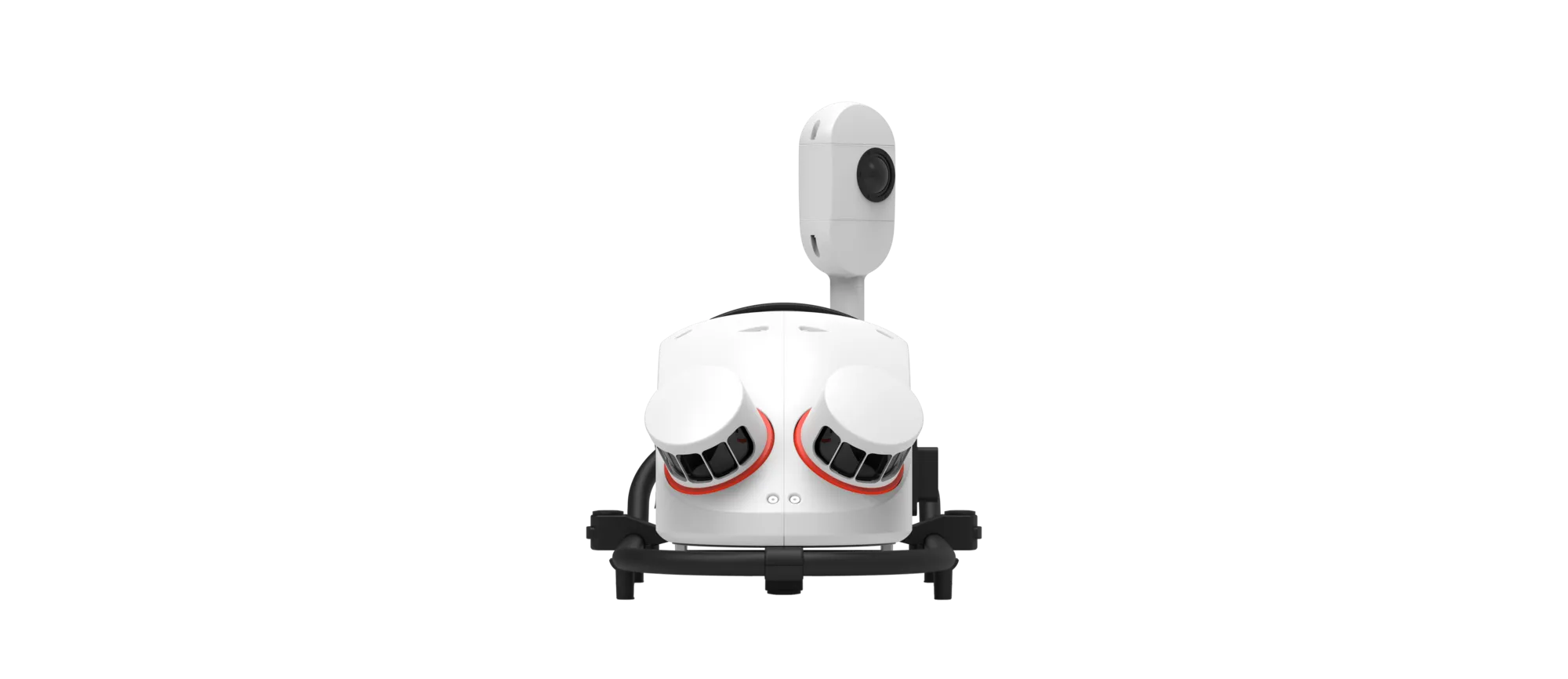
- Compact and lightweight design. Makes installation and operation easier for a single user.
- Automated workflows. Integration with software that enables route planning and autonomous data collection.
- Privacy compliance. Integrated features for automatic blurring of faces and number plates, ensuring compliance with privacy regulations.
The Pegasus TRK300 is ideal for applications in asset management, infrastructure construction, transport and the creation of base maps for autonomous vehicles. Its ergonomic design and advanced features make it an accessible tool both for experienced professionals and for new users in the field of mobile mapping.